Vorarlberg in Summer
Holidays between mountains, Lake Constance and architecture.
Introduction
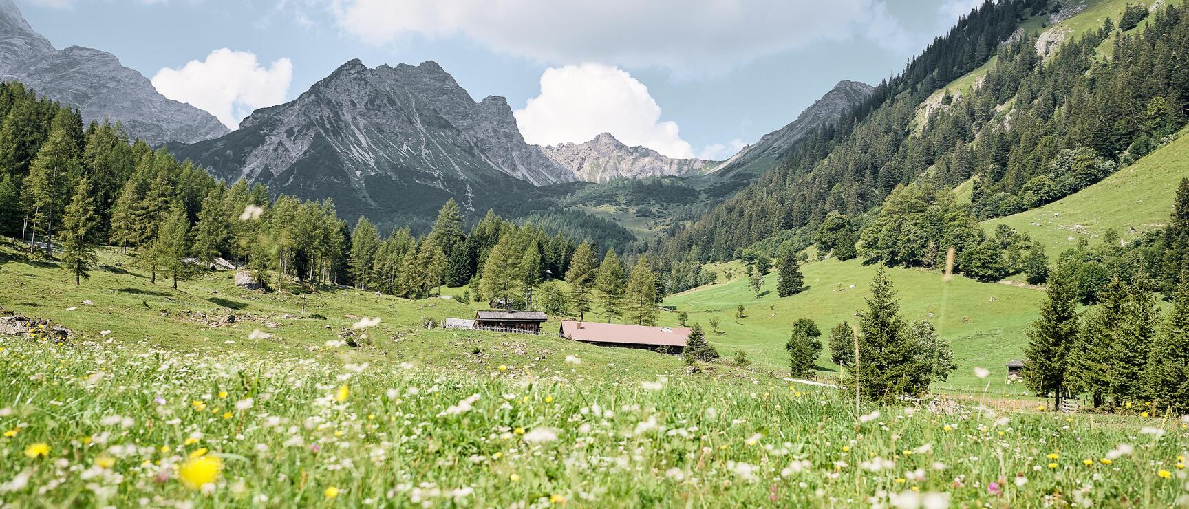
Between Lake Constance and the Alps, Vorarlberg shows just how varied outdoor activities can be. Hike panoramic trails, cycle along the Lake Constance Cycle Path or head into the mountains by mountain bike. In between, enjoy a swim in the lake, breaks by the shore and views across water and peaks.
Many trails, cable cars and public transport links open up the region and make numerous excursion destinations easy to reach. The Großes Walsertal UNESCO Biosphere Park is one example of Vorarlberg's designated protected areas.
In Bregenz, culture meets the lake, with the Bregenz Festival on the floating stage and modern architecture right by the water. The culinary scene stays close to the region: along the Bregenzerwald Cheese Road, you meet producers who use local ingredients and traditional craftsmanship to create cheese specialities.
All of Vorarlberg's holiday regions offer an Inclusive Card, valid for public transport, cable cars, museums, and much more - depending on the region.
Traditional and modern highlights are shown in the Calendar of events
Meet Vorarlberg
Top highlights
Tours
Regions
Cities and places
Living Customs in Vorarlberg
On the first Sunday after Ash Wednesday, an ancient tradition ignites each year in many places across Vorarlberg: The traditional burning of sparks. This custom is intended to drive away winter and bring good luck to the people. Artfully stacked wooden towers are set ablaze, culminating in the explosion of the powder-filled "spark witch" at the top.
In Montafon, "Scheibenschlagen" is also celebrated on Spark Sunday. Discs made from alder and birch wood are placed on hazel sticks, ignited, and struck against a disc stick. The glowing discs create arcs of light in the darkness. This fiery spectacle is accompanied by music, along with delicious food and drink - especially the "Funkaküachli," a traditional yeast cake.
Top events
Recipes
Unique places to stay
Traditions and craftsmanship in Vorarlberg
Customs and craftsmanship in Vorarlberg are closely linked to local materials, techniques and regional conditions. Events such as alpine cattle drives and seasonal traditions, along with traditional crafts, are maintained and carried on in many villages.
In the Bregenzerwald, workshops, studios and family-run businesses create products from materials such as wood, metal and textiles. Many of these techniques are passed down through generations and continue to evolve in a contemporary way. Initiatives like the Werkraum Bregenzerwald connect numerous craft businesses and provide space for exchange, presentation and training. Visiting these places offers insight into working methods, use of materials and design – and reveals how craftsmanship, design and everyday regional life come together in Austria.