Long-distance hiking
If you want more than one day
Introduction
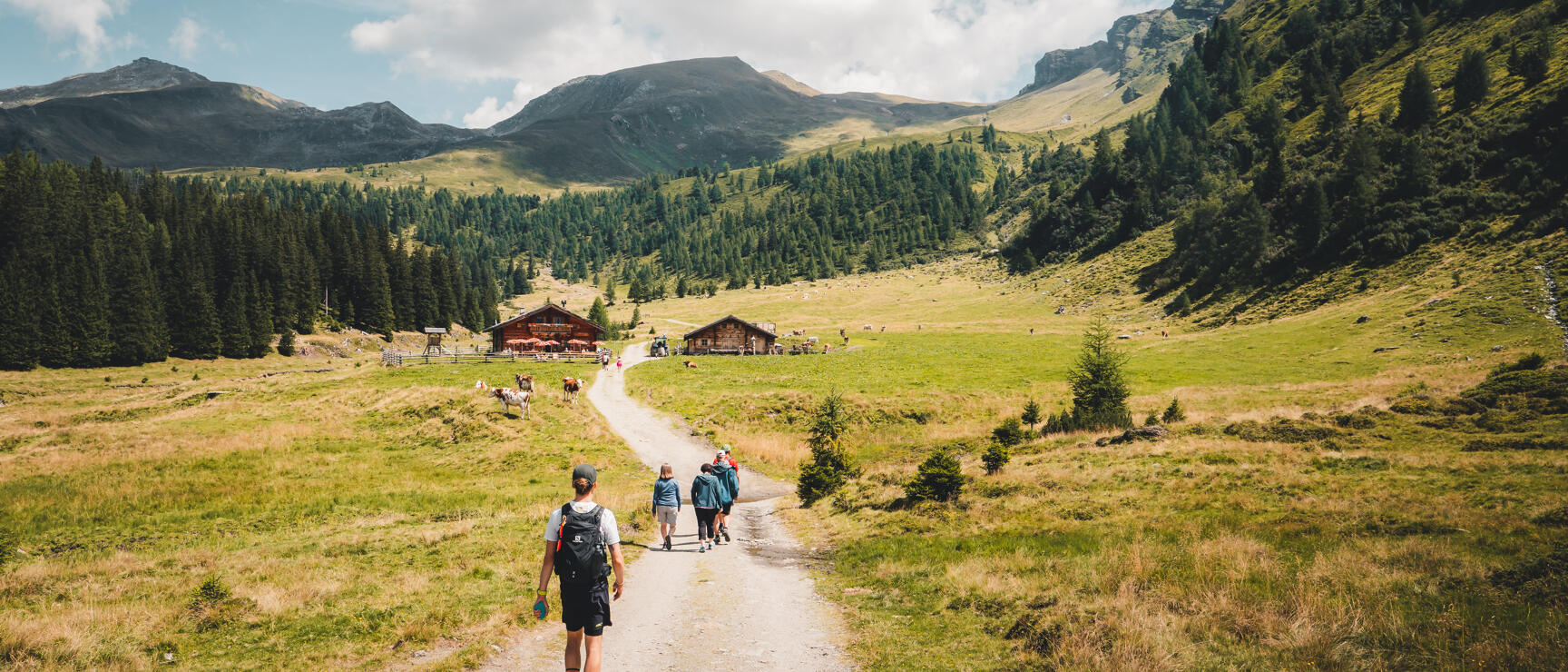
You lace up your boots, sling your rucksack over your shoulders, and step into a world that transforms with every step. In Austria, long-distance hiking is more than just a journey – it’s a full immersion in landscapes that stirs your heart and senses. Feel the ground beneath your feet, breathe in the crisp mountain air, and let the gentle rustling of the forest be your companion.
Everyday stress? Left far behind. On these trails, Austria reveals its diversity – Alpine peaks, shimmering lakes, and peaceful valleys. Long-distance hiking is about slowing down, and embracing freedom, and adventure. It’s a chance to find your rhythm and give space to your thoughts. Let go of daily routines and experience the present moment – that’s the essence of long-distance hiking in Austria. Try it – the trail awaits!
Burgenland: Hiking the Pannonian Plain
Carinthia: Southern hospitality
Discover long-distance hiking trails in Carinthia.
Lower Austria: Past castles, wine taverns and vineyards
Upper Austria: From the Salzkammergut to the sights
SalzburgerLand: Mountains, lakes and gentle Alpine pastures
Styria: On the road in the green heart of Austria
Discover long-distance hiking trails in Styria.
Tirol: Impressive views of the mountains
Discover long-distance hiking trails in Tirol .
Vorarlberg: Through the west of Austria
Vienna
The 120-kilometre circular hike leads around the city of Vienna - in 24 easy stages. The start and finish of each stage are easily accessible by public transport.
Tips for long-distance hiking fans
Long-distance hiking in Austria: Tips, routes, questions and answers
Austrian Alpine Club: The 10 greatest long-distance hiking trails in Austria (in German only)
Preparation: Finding the right long-distance hiking trail